The Parklands of Floyds Fork is unlike any public open space currently being developed anywhere in the country. Four major parks that trace Floyds Fork will be linked by a rural park road and a multi-use trail, known locally as the Louisville Loop. Floyds Fork, a tributary of the Salt River, originating from the northeast and flowing southwest to the Salt River, provides a unique and invaluable natural resource to the region. Characterized by scenic views, riparian vegetation, wildlife, fossils, and historic and archaeological sites, the Floyds Fork watershed provides opportunities for recreation and an increased quality of life for local residents and visitors.
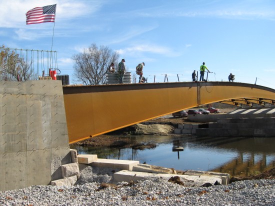
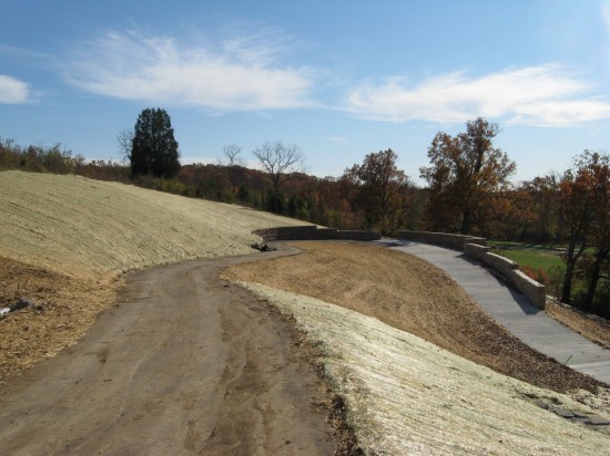
Qk4, Inc. has been selected for the design and construction-engineering phase of this exciting effort. This phase of the project includes 220 acres of land, a Park Road, the Louisville Loop trail (see below for photograph of a small portion of the Louisville Loop in the construction phase), two bridges over the Floyds Fork tributary (see below for photograph of one bridge in the construction phase), bioengineering and abutment protection for each bridge, retaining walls, and parking lots.


