

FEATURED PROJECT
The Parklands of Floyds Fork
The Louisville legacy of Frederick Law Olmsted, designer of New York City’s Central Park and Louisville’s own nineteenth century parks, provided inspiration for The Parklands of Floyds Fork. The Parklands of Floyds Fork does what Olmsted’s parks did for Louisville a hundred years ago – improves lives and attracts business by bringing nature to neighborhoods while rising to his legacy.
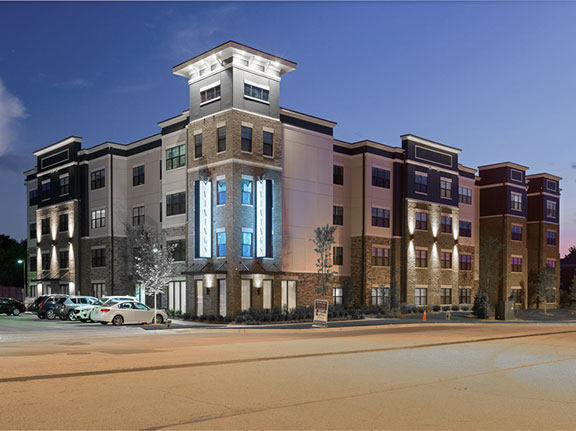
The Vining
Jefferson County, Kentucky
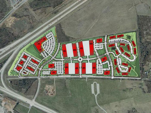
Claiborne Crossing Mixed Use Development
Jefferson County, Kentucky
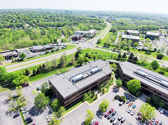
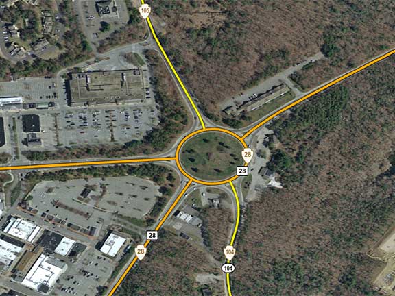
Shelbyhurst Traffic Impact Study
Jefferson County, Kentucky
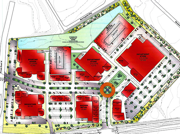
Outer Loop Center
Jefferson County, Kentucky
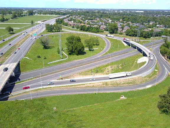
The Left Overloop – US 60/KY 4
Lexington, Kentucky
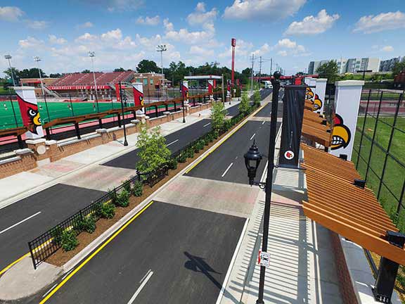
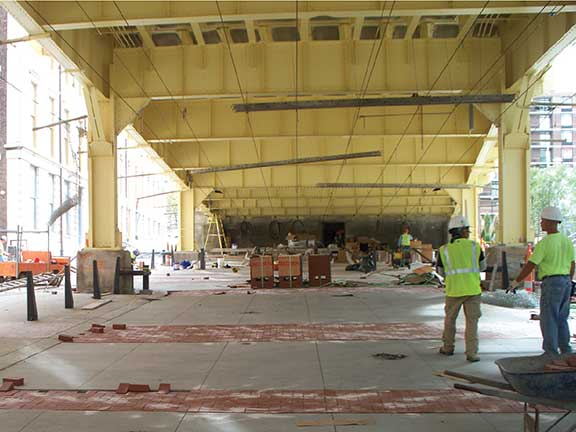
University of Louisville Belknap Connector
Jefferson County, Kentucky
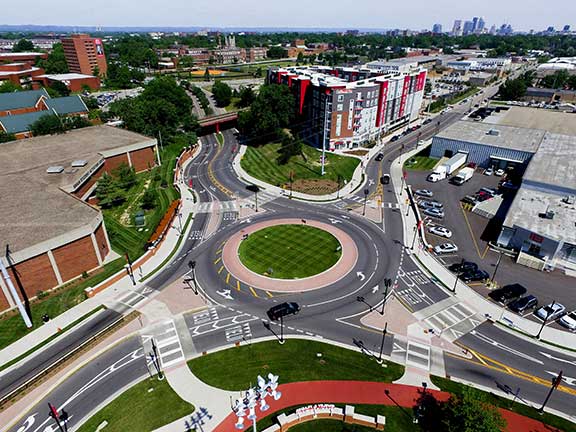
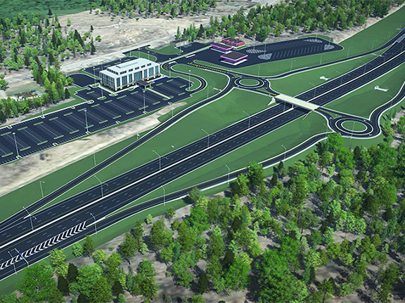
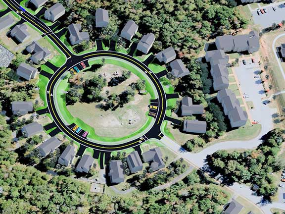
University of Louisville East Campus Roundabout and Gateway
Jefferson County, Kentucky
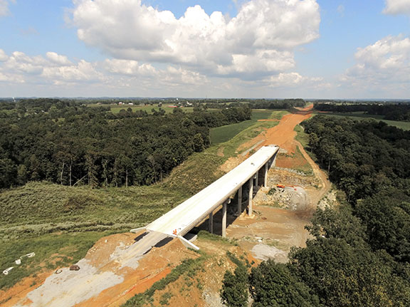
Campbellsville Bypass
Taylor County, Kentucky
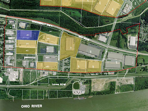
Salt River Business Park
Bullitt County, Kentucky
Riverport South Industrial Park
Jefferson County, Kentucky
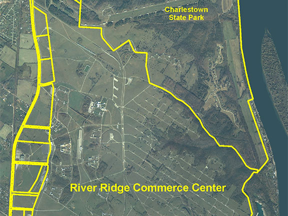
River Ridge Commerce Center
Jeffersonville, Indiana
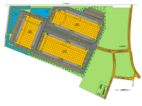
ProLogis Park 65
Bullitt County, Kentucky
Mashpee TTP Inventory
Mashpee Wampanoag Tribe
Old Reservation Wastewater Study
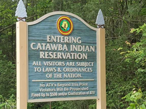
Catawba Indian Nation
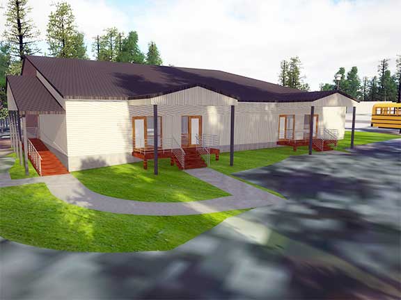
ISWA Head Start School Expansion
Catawba Indian Nation
Interstate Oasis
Seneca Nation of Indians
Green Earth Roadway
Catawba Indian Nation
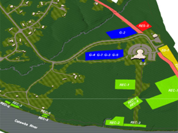
Old Reservation Master Planning Services
Catawba Indian Nation
Rivercrest Road
Catawba Indian Nation
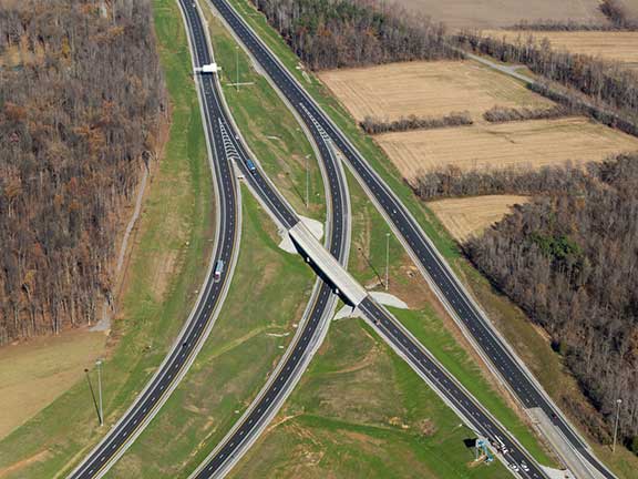
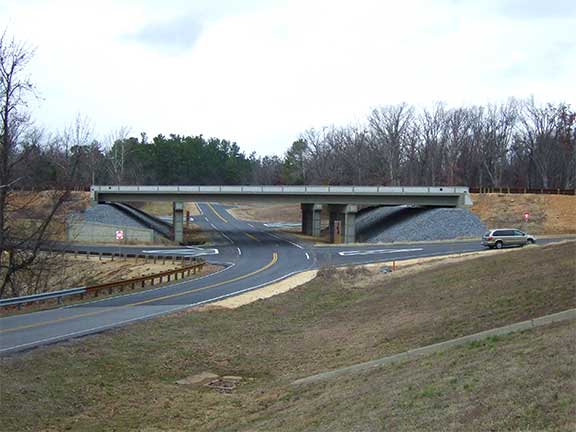
I-69 Design Build Interchange
Hopkins County, KY
KYTC General Engineering Consulting
Kentucky
KYTC Statewide Planning
Kentucky

Subsurface Utility Engineering
Indiana, Kentucky, Tennessee
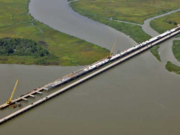
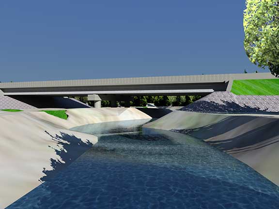
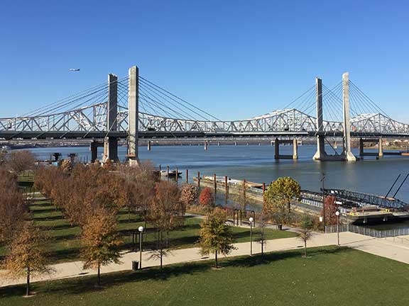
Back River Bridge
Savannah, Georgia

Shepherdsville Wastewater Treatment Plant
Shepherdsville, Kentucky
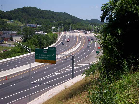
I-640 Widening
Knox County, Tennessee
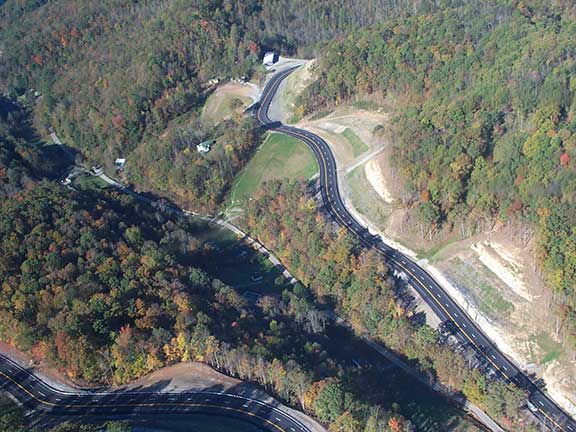
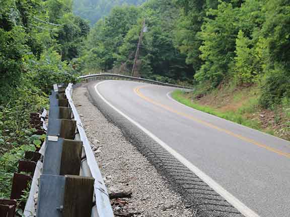
US 119 over Pine Mountain
Letcher County, Kentucky
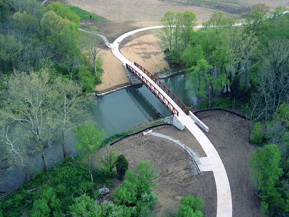
Parklands of Floyds Fork
Jefferson County, KY
Land Between the Lakes
Marshall & Trigg Counties, Kentucky