Site Engineering & Development
“Let me say what a GREAT job you and your team did on putting everything together and getting to me. It was one of the BEST jobs I have seen done by a consultant. You made my part a lot easier.”
Curtis Monroe, CPPB
University of Louisville
Successful and sustainable site engineering is based on the knowledge and application of detailed design systems which are defined by the specific land use and environmental conditions present – Qk4 offers a complete understanding of these varied land use development systems:
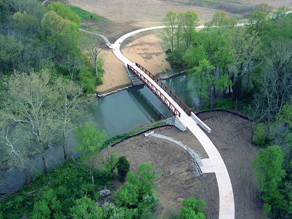
- Parks and Recreation Design is a specialized area where landscape architects and civil engineers work together in a coordinated team to produce sound solutions for the design of park roads, bridges and trails which are carefully tailored to respect and highlight the natural environment.
- Industrial Development requires a “no-nonsense” approach to site design where basic layout and geometry is dictated by truck traffic and in some cases, access to railroad corridors.
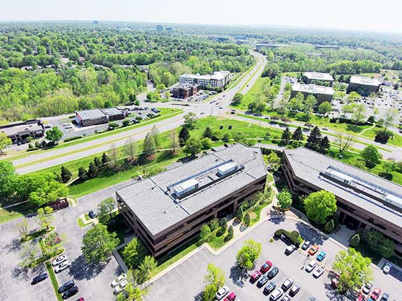
- Commercial Development is organized to take advantage of road frontages and visibility, where access and the focus on functional traffic engineering is critical.
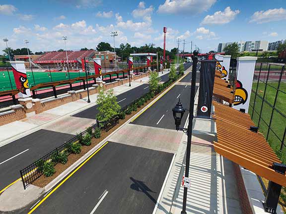
- Institutional Development includes the engineering of site infrastructure to support schools, churches, medical or municipal facilities, where careful considerations to separate pedestrians, autos, and service vehicles is critical.
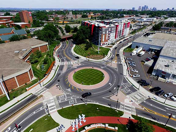
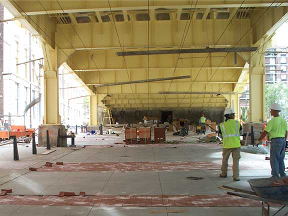
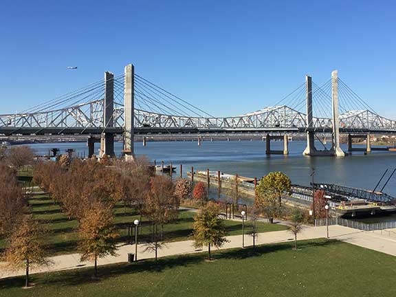
- Landscape and Streetscape Design demands an understanding of the urban environment and how to creatively blend the critical function of the pedestrian sidewalk with the unique aesthetic and character of the urban neighborhood.
Key to success is the application of safe, functional and proven solutions, with a complementary focus on creative designs and unique end results.
Industrial Development and Drone-Based Survey Technology
The accessible aerial data used by professionals today has been gathered by manned airplanes at high altitudes or by satellite imagery miles above the earth. The images provide a good idea of land use and coverage but are costly and limited to the season of the year they were collected and the high altitude resolution of the airplane.
Qk4 now has the capability to provide both high resolution color aerial imagery quickly and efficiently at a resolution less than 1??? per pixel. These images then can be compiled to create a Digital Surface Model (DSM) of the ground, buildings, and roads. The information collected can be tailored to the specific season of the year or at particular intervals for monitoring construction phases throughout a project. You are no longer at the mercy of the high costs of manned aerial imagery and the static and limited data available from online aerial imagery.
Contact:
Rob Campbell, PE
Contact:
Rob Campbell, PE
Contact:
Rob Campbell, PE
Contact:
Rob Campbell, PE
Contact:
Rob Campbell, PE
