Powervision Defined
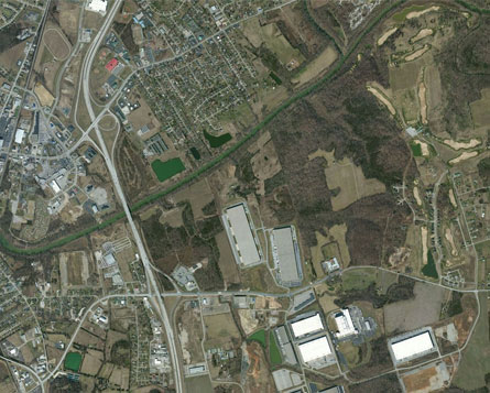
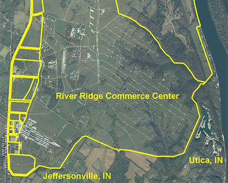
‚??Data Is Power‚?Ě and to gain new perspectives on the available industrial sites open in the Bluegrass State, Kentucky‚??s Touchstone Energy Cooperatives and Qk4, Inc., have partnered together to create aerial fly-over videos of prospective development sites utilizing unmanned drones. These videos give high-definition rendered views of the topography and provides the viewer the convenience of experiencing the site in its entirety without the need of physically walking the site. First impressions are important when making informed decisions, and now we can bring the site to you through this comprehensive fly-over and the data captured.
More than just video rendering, the aerial mapping drone has collected the digital topography of the industrial site. We have developed a digital surface model of the entire industrial complex‚??with elevation data for the roads, ground, and existing developed lots‚??to be used for preliminary design concepts. The high resolution elevation model was collected in a color point cloud that can be imported into any modern CAD software for profiles, cross sections, and drainage analysis.
Industrial Development Visualization Techniques Redefined
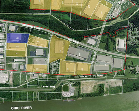
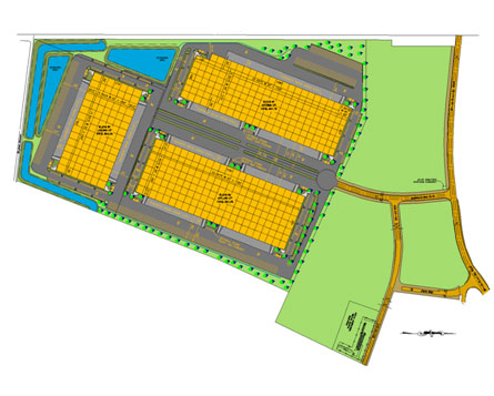
Qk4 has been a critical team member for successful event industrial developers for over 20 years. One of the most challenging aspects of industrial design and engineering is helping the industrial developers and their prospective land users visualize how both the entire industrial park and individual parcels can be developed and the flexibility of development options available. In years past, this visualization process was managed with 2-dimensional CAD drawings which provided only a simple black and white image of the possibilities.
Today, with more sophisticated 3-dimensional rendering software, combined with the utilization of drone-based digital imagery and mapping data, the efficiency and accuracy of the process has been accelerated and the rendering and visualization capability has been advanced to achieve renderings from an infinite number of vantage points in the fraction of the previous time required. The result is a modern visualization tool which helps bring industrial developers and user industries closer together and the opportunities for successful economic development a reality.
Virtual Sites
Clay City Business Park
Clay City, Kentucky
Powell County
MMRC Industrial Park
Morehead, Kentucky
Rowan County
Southeast KY Regional Park
Corbin, Kentucky
Knox County
Highland Glen Industrial Park
Glasgow, Kentucky
Barren County
Highland Glen Industrial Park
Glasgow, Kentucky
Barren County
KY 208 Industrial Park
Lebanon, Kentucky
Marion County


